


 Winter Storm to Impact the Region Sunday through Monday...
 * WHAT...Heavy mixed precipitation expected. Total snow accumulations of 5 to 7 inches and ice accumulations of around one tenth of an inch.
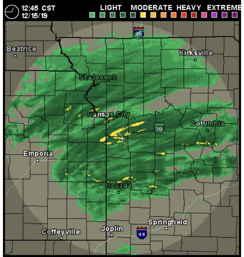
* WHERE...Portions of east central and northeast Kansas and west central Missouri
* WHEN...Until 6 PM CST Monday
* IMPACTS...Plan on slippery road conditions. Hazardous road conditions are likely both Sunday and Monday. High snow rates may lead to quickly diminishing visibility and rapidly accumulating snowfall amounts

